|
 Topic: Illustrated midlands hike Topic: Illustrated midlands hike
|
  |
25/2/2011 at 11:41am
Location:
Outfit:
 View Profile
 Reply
Reply
 Quote
Quote
|
Joined: 13/6/2009 Platinum Member 
Forum Posts: 1404
| Site Reviews Total: | 0 |
|
| Site Reviews 2025: | 0 |
| Site Reviews 2024: | 0 |
| Site Reviews 2023: | 0 |
| Site Reviews 2022: | 0 |
| Site Reviews 2021: | 0 |
| Site Reviews 2020: | 0 |
| Site Reviews 2019: | 0 |
|
| Site Nights 2025: | 0 |
| Site Nights 2024: | 0 |
| Site Nights 2023: | 0 |
| Site Nights 2022: | 0 |
| Site Nights 2021: | 0 |
| Site Nights 2020: | 0 |
| Site Nights 2019: | 0 |
|
Hi Skep
Brilliant photography and perhaps a guide book in the making??!!
At one time I would have joined you - the mind says yes!yes! and the knees etc now say No!No!
I have hiked in many areas of England and Wales, and with my did husband 'The Limestone Way' about 40 miles carrying full camping gear overnight. That was a one off but plenty shorter practice trips.
There are various 'bugs' associated with camping and I think you are about to discover another with backpacking. The pub at the end of the hike or after pitching is always the best one in the world.
-------------
Mavis
It is easier to smile than frown so share a smile every day
|
25/2/2011 at 12:04pm
Location:
Outfit:
 View Profile
 Reply
Reply
 Quote
Quote
|
Joined: 02/8/2008 
Forum Posts: 5289
Tent Reviews: 4
| Site Reviews Total: | 5 |
|
| Site Reviews 2025: | 0 |
| Site Reviews 2024: | 0 |
| Site Reviews 2023: | 0 |
| Site Reviews 2022: | 0 |
| Site Reviews 2021: | 0 |
| Site Reviews 2020: | 0 |
| Site Reviews 2019: | 0 |
|
| Site Nights 2025: | 0 |
| Site Nights 2024: | 0 |
| Site Nights 2023: | 0 |
| Site Nights 2022: | 0 |
| Site Nights 2021: | 0 |
| Site Nights 2020: | 0 |
| Site Nights 2019: | 0 |
|
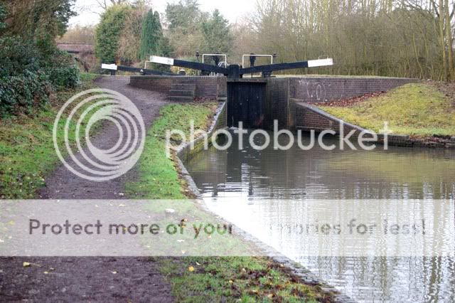
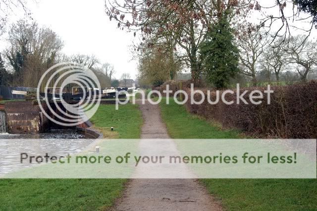
Yay thanks scep for posting the pics!
Looking forward to dragging my arse and the dogs round it!
Be good if it dries out a bit my boots are going to be muddied up totally!
If i get a weekend free might try the other half of the route, then we can join it all together!
|
25/2/2011 at 12:59pm
Location: west midlands
Outfit: Pennine Folding Camper & Comanche
 View Profile
 Reply
Reply
 Quote
Quote
|
Joined: 05/9/2006 Gold Member 
Forum Posts: 471
| Site Reviews Total: | 8 |
|
| Site Reviews 2025: | 0 |
| Site Reviews 2024: | 0 |
| Site Reviews 2023: | 0 |
| Site Reviews 2022: | 0 |
| Site Reviews 2021: | 0 |
| Site Reviews 2020: | 0 |
| Site Reviews 2019: | 0 |
|
| Site Nights 2025: | 0 |
| Site Nights 2024: | 0 |
| Site Nights 2023: | 0 |
| Site Nights 2022: | 0 |
| Site Nights 2021: | 0 |
| Site Nights 2020: | 0 |
| Site Nights 2019: | 0 |
|
Great post scep. Makes me want to walk it now!!!
-------------
Enjoy life whilst you can, it doesn't last for ever!!!!!!
|
25/2/2011 at 10:28pm
Location: Buckinghamshire
Outfit: Vangos Raclet Relum Izzy Cabanon
 View Profile
 Reply
Reply
 Quote
Quote
|
Joined: 17/8/2010 Gold Member 
Forum Posts: 341
| Site Reviews Total: | 11 |
|
| Site Reviews 2025: | 0 |
| Site Reviews 2024: | 0 |
| Site Reviews 2023: | 0 |
| Site Reviews 2022: | 0 |
| Site Reviews 2021: | 0 |
| Site Reviews 2020: | 0 |
| Site Reviews 2019: | 1 |
|
| Site Nights 2025: | 0 |
| Site Nights 2024: | 0 |
| Site Nights 2023: | 0 |
| Site Nights 2022: | 0 |
| Site Nights 2021: | 0 |
| Site Nights 2020: | 0 |
| Site Nights 2019: | 7 |
|
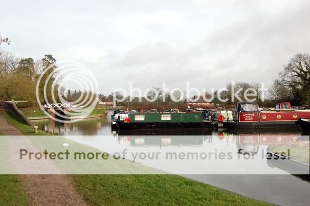
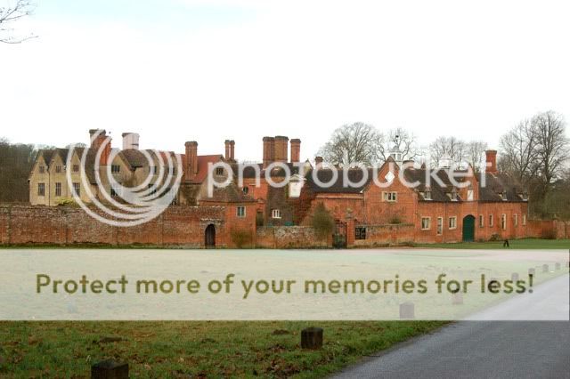
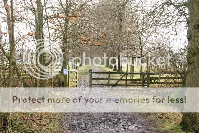
Love the avenue of ancient trees, love those old houses with their arts and crafts chimneys (I think that's the era) and love the colourful reservoir of canalboats. Glad your doggy got a pic. If Val does other half will make a great walk never mind practice. Count me in if I can make the weekend it eventually gets sorted.
-------------
Smoky + Ella
|
|


