Advertisement
Message Forums |
|
 Topic: Our Xmas Holiday (Final Report) 2016/17 Topic: Our Xmas Holiday (Final Report) 2016/17
|
  |
20/3/2017 at 4:55am
Location: Melbourne Australia
Outfit: Windsor Rapid Off Road Van + tents
 View Profile
 Reply
Reply
 Quote
Quote
|
Joined: 20/4/2015 Gold Member 
Forum Posts: 234
| Site Reviews Total: | 0 |
|
| Site Reviews 2024: | 0  |
| Site Reviews 2023: | 0  |
| Site Reviews 2022: | 0  |
| Site Reviews 2021: | 0  |
| Site Reviews 2020: | 0  |
| Site Reviews 2019: | 0  |
| Site Reviews 2018: | 0  |
|
| Site Nights 2024: | 0 |
| Site Nights 2023: | 0 |
| Site Nights 2022: | 0 |
| Site Nights 2021: | 0 |
| Site Nights 2020: | 0 |
| Site Nights 2019: | 0 |
| Site Nights 2018: | 0 |
|
Welcome to the final report from what was a sensational holiday that Jen and I had over the Xmas period. We ended the last report with us being camped on the Mitta Mitta River north of Omeo in eastern Victoria.
I decided to take Jen for a days drive through some of the most spectacular high country in the Victorian Alps. The route I chose would take us along the Davies Plain Track to Tom Groggin (On the Murray and NSW border) and then we’d return via the Mt Hope Tom Groggin Track/Road to our camp.
Our first stop was at Benambra, a small place that few stop at as they pass through on their way to more exotic or remote destinations nearby. Once far busier than it is today it is still worth spending a few minutes checking it out. There is plenty of history here as this region was one of the first settled in Victoria (by Europeans). This occupation started during the period of 1834-1836, the same time that the first settlements were being made in Melbourne and at Portland in the states south west.
This business was all the rage in the district some time ago but today stands as a reminder to what once was, in many small rural communities across the country.

Out the back of the towns pub, the beer garden had an unusual theme painted on it’s side fence, and then a pic of Lake Omeo that 9 times out of 10 is bone dry but a wetter than usual Winter had partially filled it. The towns Uniting Church showed confidence in what would be required in the future when it was built in 1905 but alas it seemed grander than what is needed today.


There are number of historic sites not far from town, plaques remind you of that and then some old ruins that stand a lonely vigil in now open paddocks.


In the distance there were some very old and dilapidated buildings but being private property I had to photograph them from where the plaque was on the fence line.


A short distance from there are the ruins of another Pendergast Homestead.

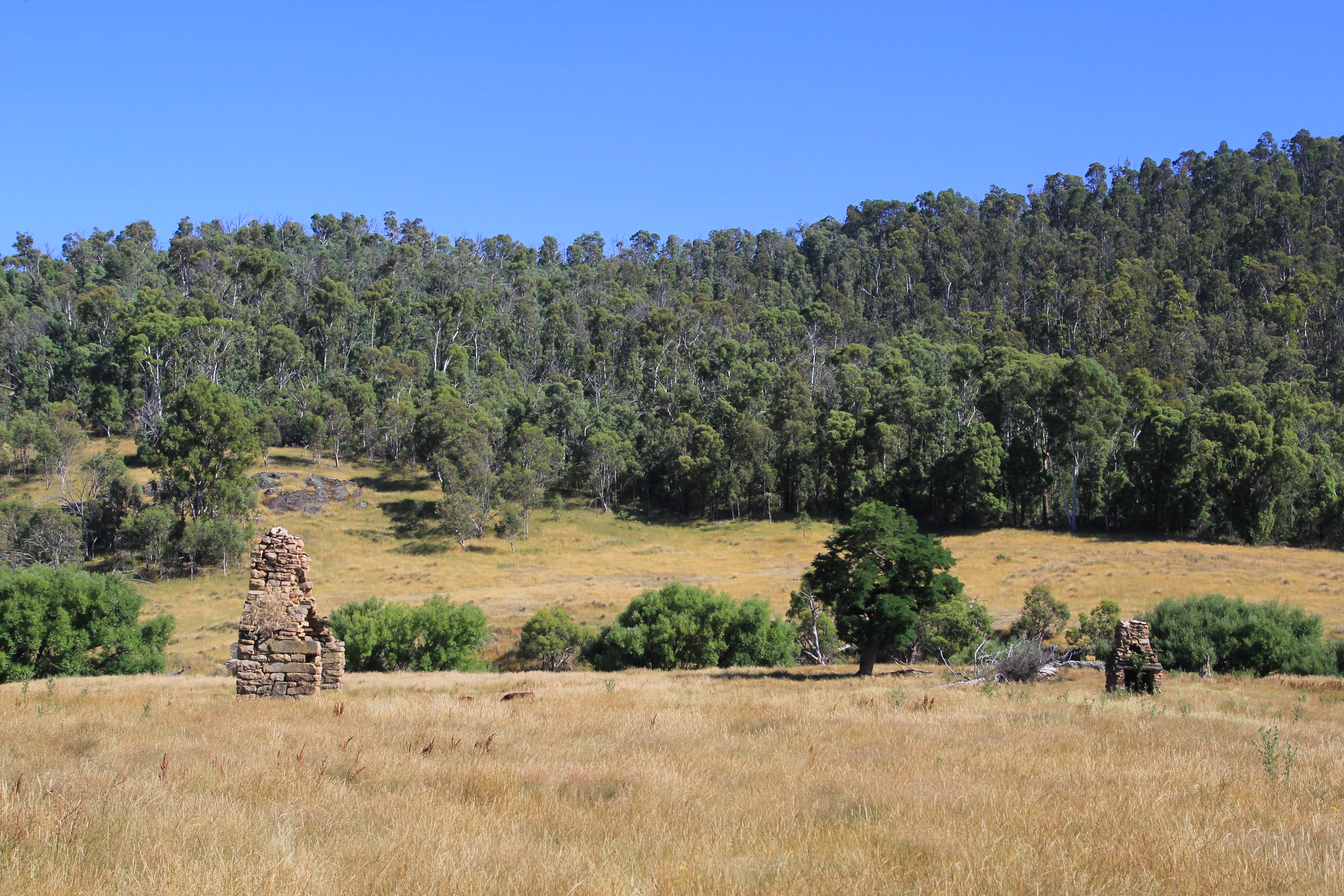

We now headed bush, just as we turned off the Limestone Benambra road onto the Beloka road we came across this sign, it didn’t mean much to Jen but I knew it would seriously affect our drive to Tom Groggin as I wanted to return via that road/track. After a brief rethink I decided to go in via the Davies Plain Track and then return via Mt Pinnabar. It would be a bit further and take longer but all should be sweet. Even though I was extremely disappointed at least they had given forewarning some distance from the spot, allowing for a change of plans.

Along the Beloka Road that takes you further into the bush and the Alpine National Park, where many iconic 4wd tracks can be found.

At the intersection where the Mt Hope Road was officially closed and then a few pics taken along the Davies Plain Track.


We had morning tea at the Charlie Creek campground; as we were pottering about enjoying this lovely spot, a high lift Patrol with big humungous tyres passed us. Shortly afterwards we could here him in the distance revving and making a bit of noise, at the time I didn’t think much of that but when we got to this sign and then a bit further on at this part of the track I then new why. These next pics don’t show the steepness of the track or the deepness of the hole, but that car had far greater clearance than us and far more aggressive tyres, and he had struggled to get through.
A lot of damage done, I could possible have winched my way through and if I could have continued on to Tom Groggin I may have attempted it, but since the track further on was closed we had to accept that we now could only return the way we had come and head back to camp.


What annoyed me more than anything is why wasn’t that closed track sign not put 20 ks back to alert drivers that it was closed before you had driven so far in for basically nothing. They had done that with the Mt Hope road so why not this one!!!!!
About to cross back through the Mitta Mitta River and then we were back in for a much needed swim.


I was taking a pic of this Skink who was just chillin on a log, when a bug landed right near his head. I thought David Attenborough eat your heart out as I was hoping for an action shot; then the bug flew off and that was that.


And a Bogong Moth, apparently quite tasty and once a very important food for the local Aboriginals.

That night I took a pic of the foot bridge under a starlit sky.

We reluctantly left the next morning on the next leg of our trip, what a great time we had had at that lovely spot but there was more to experience and explore.
For some time now I have wanted to visit the Cassilis Historic Area just south of Omeo. As you probably all know by now I love our early history and historic sites and this place had heaps of that and more.
Alluvial gold was first discovered in the local creek in the mid 1850s a small rush started with the majority being Chinese but only a couple of years later more easily obtainable gold was discovered elsewhere and the area was basically abandoned. Gold bearing quartz reefs were discovered in the 1880s and now with the ability to mine them meant that the area had another boom. By 1889 there was a battery in operation as well as a general store, butchery, bakery and a Mechanics Institute. A private and public school, two hotels, a coffee palace, hairdressers, bookmakers, two bank agencies and two post offices were also in existence.


Just a few rusty relics dot the landscape today, but they still tell a tale of a once very prosperous and industrious area.


And for the mechanically minded here is the engine block from that last truck.

Accommodation was tough way back.

We went on a short loop walk where we saw these old mine relics.


There were two mine entrances that we were able to go in but without a torch we were limited by how far we could go. The first was called the Chamber of Horrors and that was named by the miners at the time, many deaths and serious injuries occurred there.


You could actually see the pick marks along the rock side where the miners way back had chiseled there way into the mountain in search of that allusive mineral, Gold. Nearby was an exposed quartz reef similar to what they would have had to dig through, with hand tools.

Another amazing feat occurred here, at 77 kilometres in length, the hand-dug Jirnkee Water Race was the longest in the southern hemisphere and one of the great engineering feats of Victoria’s gold era.
It was built between 1899 and 1903 to provide water to the London-based Jirnkee Hydraulic Sluicing Company P/L for gold mining operations. Taking water from the head of the Wentworth River, over the Great Dividing Range and back to the southern side of the Divide at Cassilis Gap to where water was scarce.
The project proved disastrous. The race failing to provide all-year round water, whilst construction costs exceeded the original estimate of £2000 and became £14,000. Running costs also outstripped gold production. Overall the company suffered a nett loss in the order of £40,000 which was millions in today’s currency, they ceased operations in 1905 after just four years.

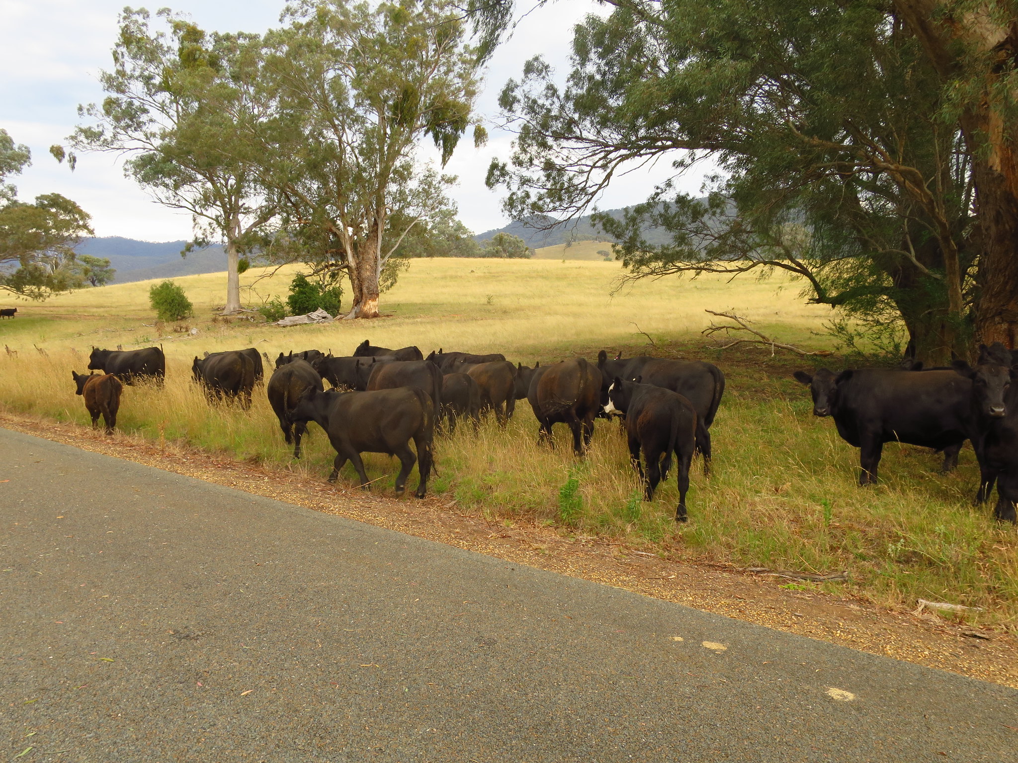
A fascinating area but it was time to set off and find a spot to camp for the next couple of nights. Often when we travel the back roads we come across special places, we also occasionally come across farmers driving stock along what was once old stock routes or moving them from one paddock to another. Here we came across a drover moving his cattle slowly along this road, once they had parted enough for us to move through I was able to take these shots as we slowly drove past.

We found a fabulous spot on the Tambo River and when the morning cloud disappeared we were in our elements.


There were some lovely wildflowers around our camp.

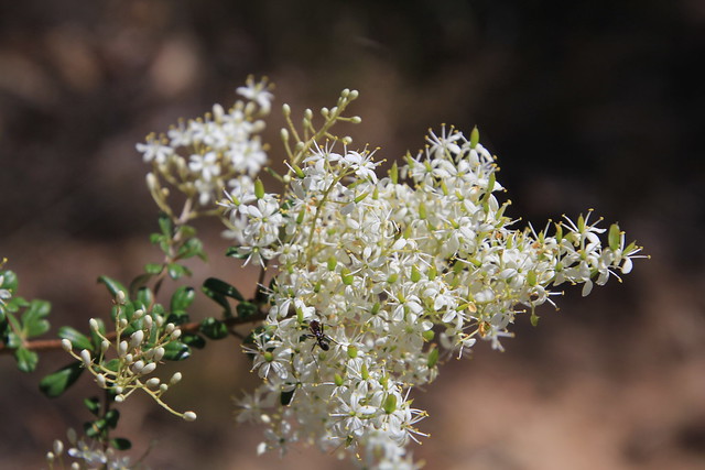
This is Bursaria Spinosa, it’s common name of Sweet Bursaria is due to the sweet aroma that the dense flower heads (dense as in compact, not stupid ha!!) emit.

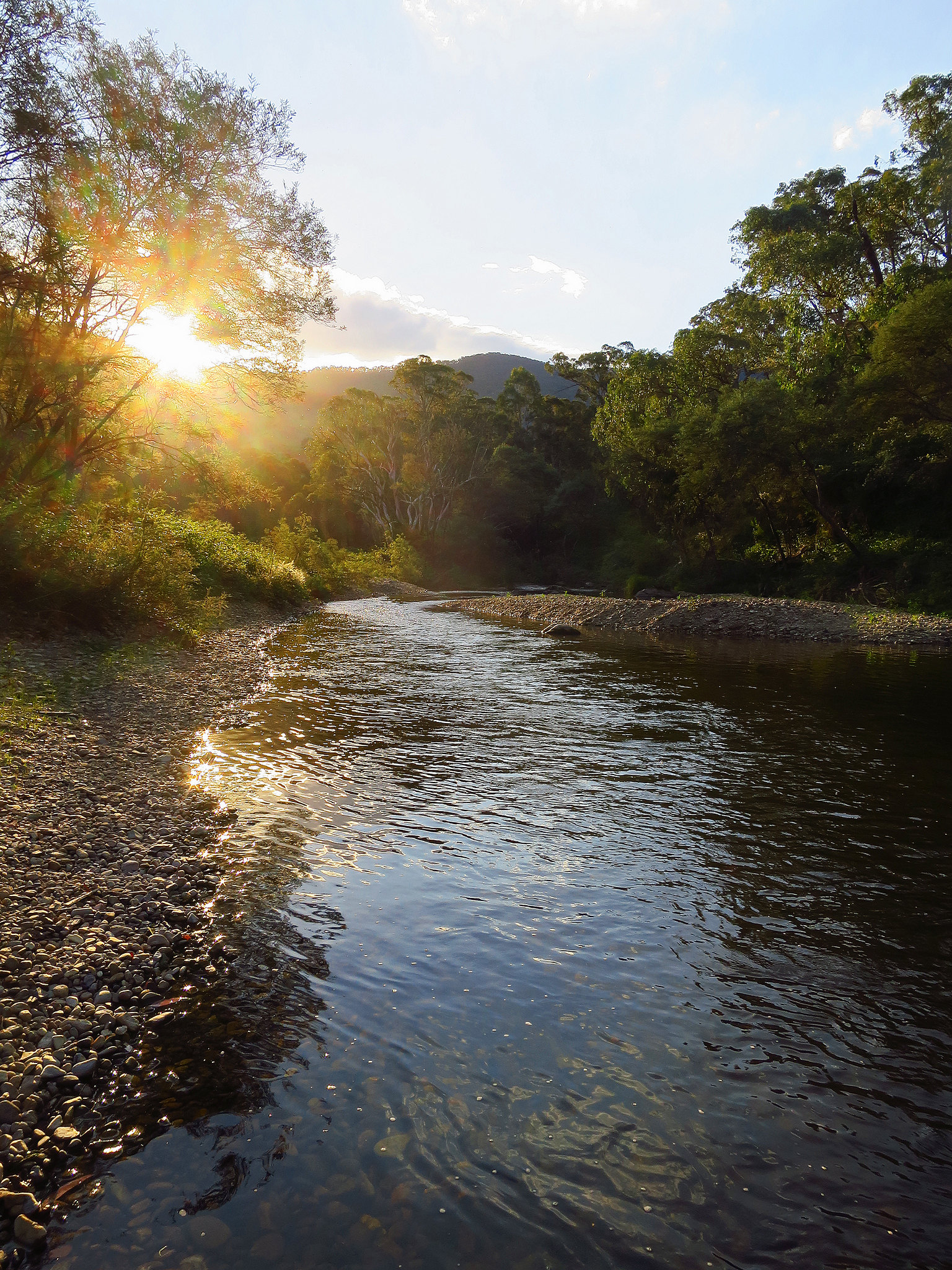
Late in the day I took these pics looking up the river.

Again that night the stars were sensational.

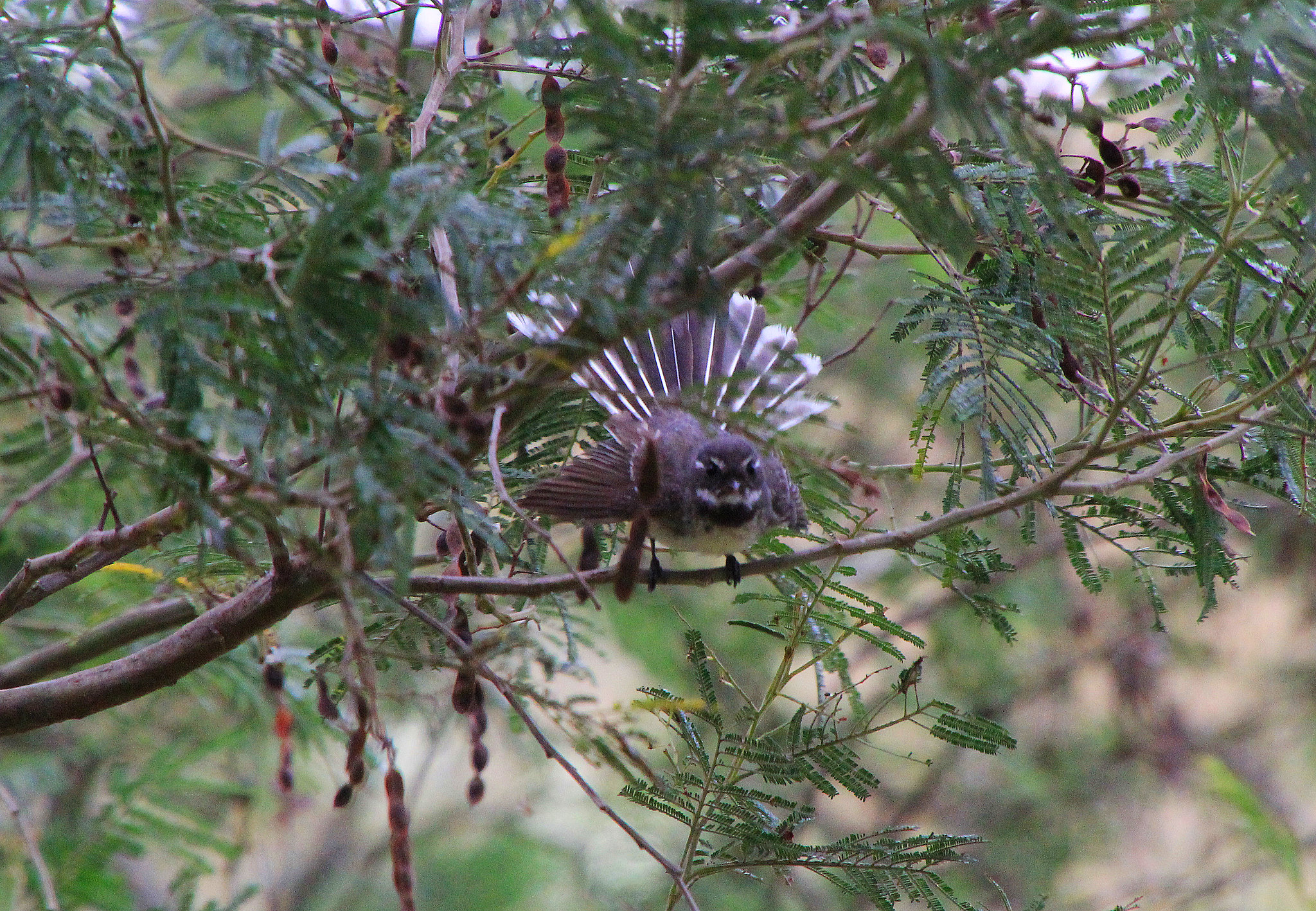
In front of our van this Grey Fantail kept us entertained with it’s constant twittering and flitting around the nearby shrubs and trees.

I noticed a pattern of hunting for insects, hoping around on a particular branch and then darting into a thick shrub and then he/she repeated that time after time. I then spied it’s nest with three young in it.

And the reason why he/she is called a Grey Fantail.
I also captured a White Butterfly doing what they do, as I focussed on this one on the shrub his mate decided to photobomb my shot!


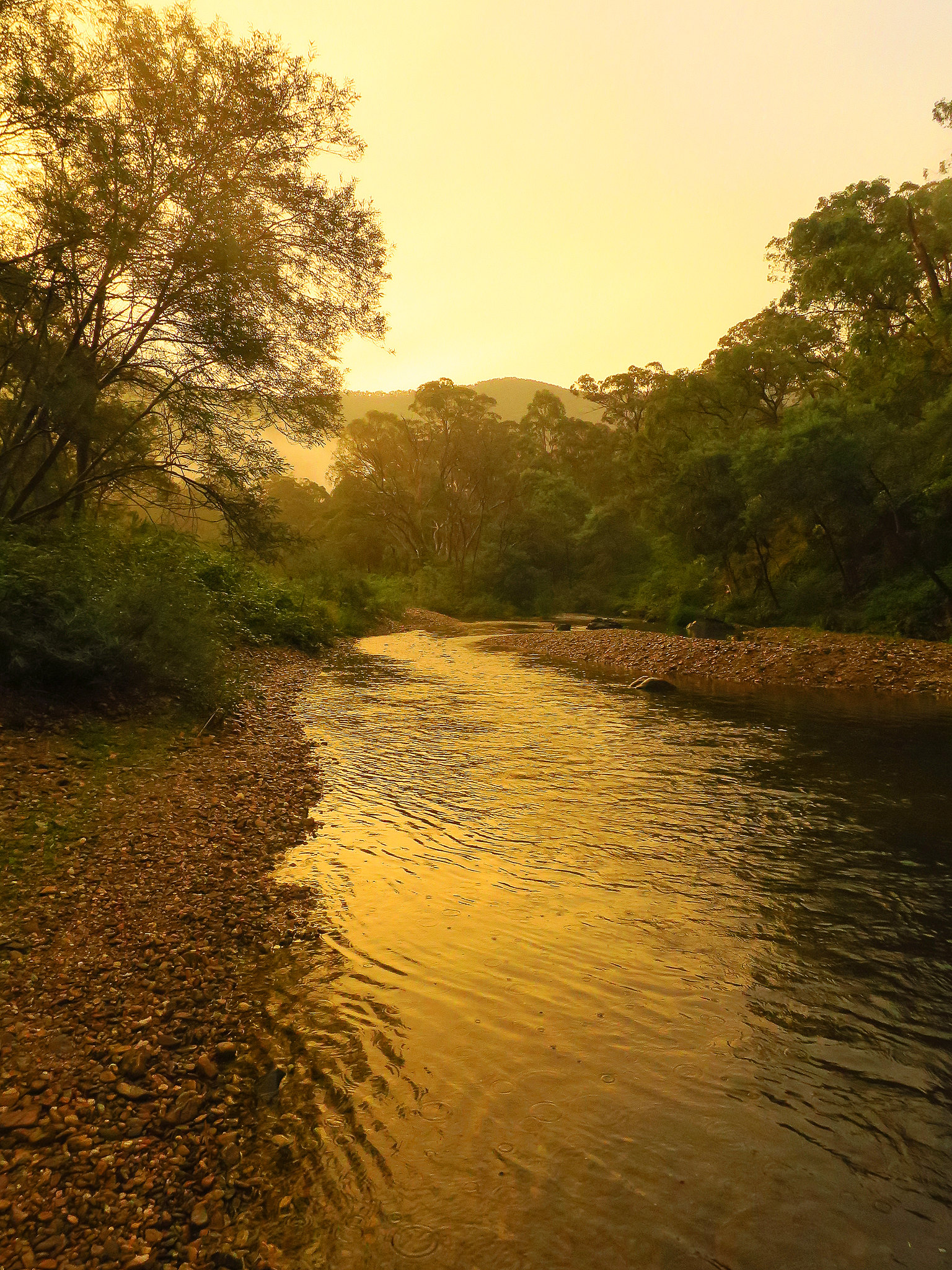
Late this day a low cloud and mist descended on the valley, there were some lovely soft colours looking up the river.
And then I noticed in the opposite direction a partial rainbow in a coloured sky between some trees. I called out to Jen to come and share this lovely and what turned out to be spectacular end to our day.

And then we witnessed this.
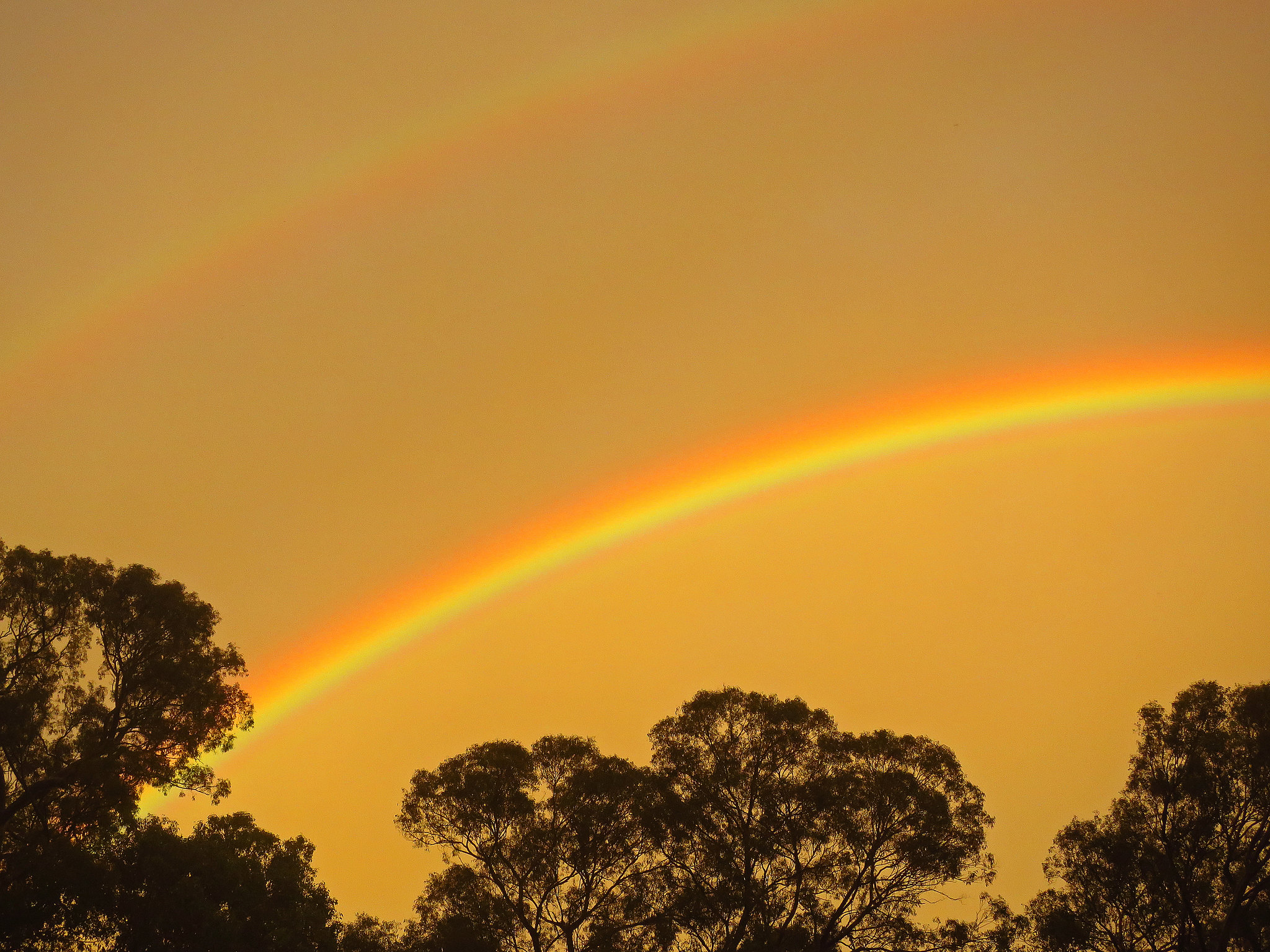


How sensational was that, what an end to our couple of nights at a wonderful camp beside the Tambo River.
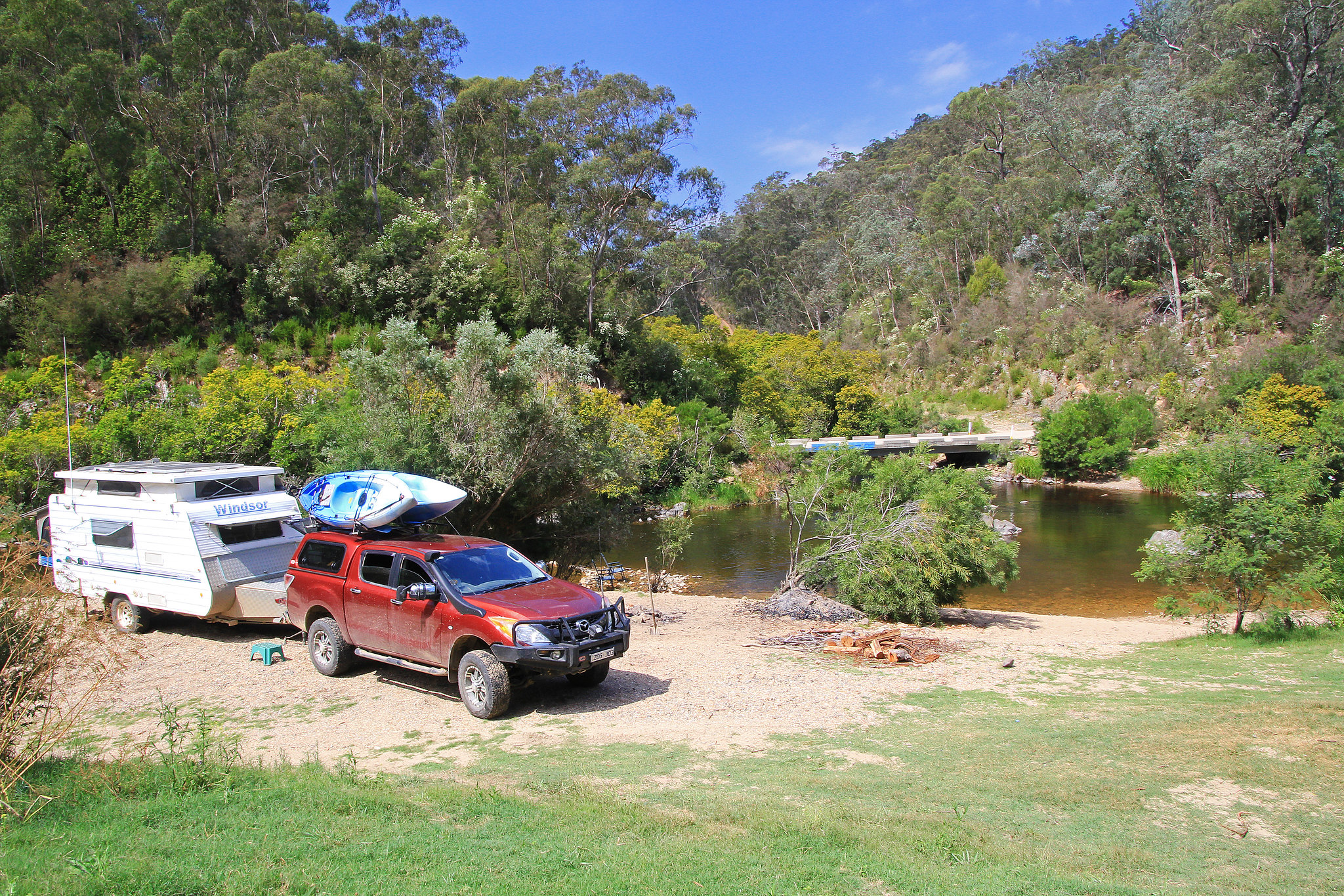
One more night on the road before we headed back to the big smoke, we found another lovely spot further down the river and settled in for the last time at a site that had just about everything.
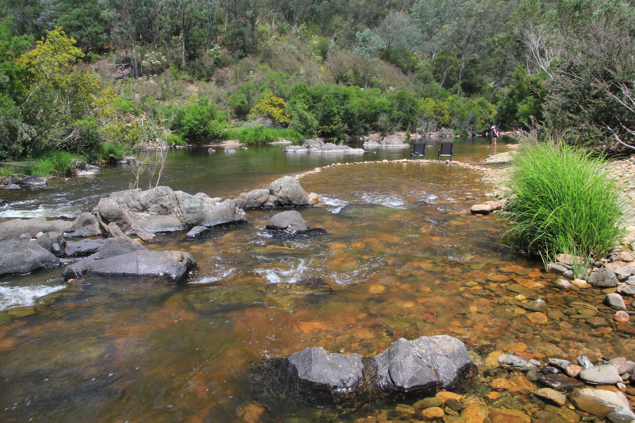
A short stroll downstream and the river picked up pace as it worked it’s way through a narrower section/gorge.

And in the other direction, aaaahh the serenity.

On the rocks beside the river this beautiful Blue Damselfly showed off in all it’s glory.

Also on the rocks nearby were this Drab Dragonfly and colourful Harlequin Bug.


In fact this spot was insect heaven, for there were so many flowering shrubs to attract them, and of course that attracted me. This particular plant, common name Kanooka was one of their and my favourites.

There were some unique varieties of insect photographed, all on that same type of shrub.
The “Striped Backed Spotted Bum Bug”.


The closely related “Plain Bum Striped Back Bug”.


And of course this “Beautiful Beetle Bug”.

A few more insects including the much loved March Fly, no wonder they sting when they stick their big mother proboscis in you.


Early the next morning we made our way back to the bitumen.

We stopped off at the Gippsland Lakes for lunch before we tackled the final drive back to Melbourne and home. It is fitting that these last few pics were taken off the main drag so to speak, at a spot away from the crowds, a spot where we could relax and enjoy the solitude that still can be found and enjoyed out in the great Australian country side or bush.


What an amazing time we had, what sensational places were visited and experiences had, memories that would be with Jen and I for a very long time. We had been away for just over two weeks, all the spots we camped were free.
I hope you enjoyed reading and viewing these reports.
Regards, Col and Jen.
-------------
The worst day above ground, is a whole lot better than the best one under it. Live life to the fullest while you can.
|
|
|
5299 Visitors online !
Free UKCampsite.co.uk Window Sticker - Recommend to Friend - Add a Missing Campsite
[Message Forums]
[Caravan Sites & Camping]
[Company Listings]
[Features / Advice]
[Virtual Brochure]
[Shop!]
[Reception]
[Competitions]
[Caravans & Motorhomes For Sale]
[Event Diary]
[Contact Us]
[Tent Reviews]


Please note we are not responsible for the content of external sites & any reviews represent the author's personal view only. Please report any error here. You may view our privacy and cookie policy and terms and conditions here. All copyrights & other intellectual property rights in the design and content of this web site are reserved to the UKCampsite.co.uk © 1999 - 2024 |

Advertisement
|
|
|


