Site Location Map ( Click here to see all sites within 10 miles of this location )
Nearest Petrol Stations (these are shown on the map above)
Total, Dordon SS - 3.54 miles from site
Esso, Centurion SS (11pm) - 3.56 miles from site
Show nearest:  National Trust National Trust  English Heritage English Heritage  Fuel Stations Fuel Stations  Good Pub Guide Pubs Good Pub Guide Pubs
Directions
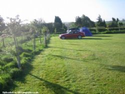
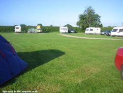
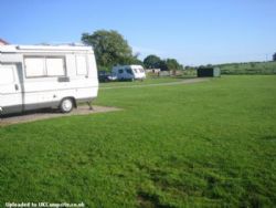
From junction 9 M42 take A4097 signposted Kingsbury, at second roundabout take B4098, in 1 mile turn left signpost Hurley. In village take second right Dexter Lane. After 1/2 mile turn left at T junction, site is approx 200 yds on left
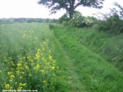
hand side. Keep straight on in the farmyard, then turn right just beyond the toilet block on your right, follow the track, keeping the garden hedge on ypur right, the campsite is ahead of you.
Nearby Attractions
Places to visit within walking distance: Village shops, including a post office and an Indian takeaway. Three pubs, with food available.
Within 6 miles: Kingsbury Water Park, Atherstone, Coleshill, Church End micro-brewery and pub, Lea Marston Golf Range and Leisure Centre, and several garden centres.
10 to 15 miles: Tamworth, Market Bosworth, Drayton Manor Amusement Park including Thomas Land, Tamworth Snow Dome, Strykers Bowling, Odeon Multi Screen Cinema, Peaks Swimming Baths, The National Exhibition Centre, The NIA, Birmingham City Centre, The Battle of Bosworth Site, The Belfry and several other golf courses.
Within 30 miles: Stratford Upon Avon, Warwick Castle, Kenilworth Castle, Cadbury World, Leicester Space Centre, Calke Abbey and several other National Trust Properties.
|


 National Trust
 English Heritage
 Fuel Stations
  Good Pub Guide Pubs
